We visited Seneca Rocks in April 2023, as part of our Spring in the mountains quickie.

From White Sulphur Springs it was a scenic drive north to Seneca Rocks, with no cell service pretty much the entire way thanks to the NRAO. As I mentioned last post, be sure to download anything internetty you might need for the drive before you leave.

Seneca Rocks is an exposed fin of the Tuscarora Sandstone formation which runs from Pennsylvania, through Maryland, and into West Virginia. Towering over the confluence of the Potomac River and Seneca Creek, the crag is the only true peak on the East Coast of the US–meaning it’s the only peak that’s inaccessible other than by technical climbing. It’s a hugely popular rock climbing destination, but we prefer to ogle the rocks from the ground, and use the area as a base for hiking.

The tiny village of Seneca Rocks sits across the street from the Seneca Rocks Discovery Center and there you can find the basic necessities: a couple small general stores selling a decent range of groceries and camping supplies, a motel, a grill, and two climbing schools. There’s no reliable cell service in the area, but Yokum’s Store has wifi.
Campground

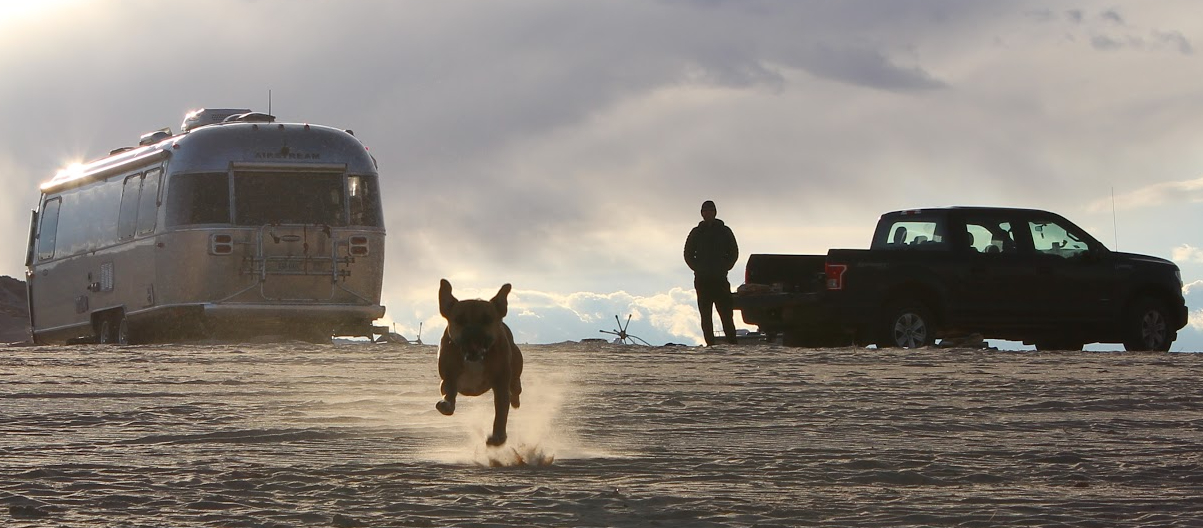
We camped at Seneca Shadows, a Forest Service-run campground in the woods a short distance from the village. The campground has a couple RV loops with 30-amp service, and a tents-only area in a field with a big view of Seneca Rocks. The tent area was mostly deserted when we visited, and we had a pleasant evening picnic there watching the light go down on the cliff face. There’s a walking trail from the back of the tent area into the village.

Our site was kind of strange: it was a double site, with room and power for two units, and two picnic tables. It was a long pull-through, which was nice, but for a single camper the back-in spots seemed nicer. There are no views of Seneca Rocks from the RV campsites. We had a lovely stay and would definitely camp there again.
Hiking

In the early Aughts we frequented this area and were excited to hit some of our old favorite hikes! From our list of options, we chose a tough climb for massive views for afternoon #1, and a scenic rhododendron hike to a gorgeous vista for morning #2.
Chimney Top


The Chimney Top hike is a strenuous 6 mile out-and-back in the Monongahela National Forest to a ridge with stunning views along the rocky cliffs, across the valley below, and over the mountains beyond. It’s truly spectacular, but it’s a tough climb to get up there! From Seneca Rocks, the Chimney Top trailhead is only a 20-minute drive.
Rohrbaugh Cliffs


Dolly Sods Wilderness Area was one of our favorite destinations when we spent a lot of time based in Franklin, WV many moons ago. The Rohrbaugh Plains Trail is a sweet walk through a rhododendron forest to cliffs overlooking the Red Creek Basin at mile 2.5.


We last did this hike and camped near the Rohrbaugh Cliffs in 2003 with Bugsy’s predecessors! From Seneca Rocks, it’s a 35-minute drive to the trailhead.

Just down the road there’s a short (less than a half mile up) bushwhack up the hill to Pancake Rocks where you get nice views, but nothing like what we you get next door at Rohrbaugh Cliffs.
The hikes we considered but did not do were:
South Prong Trail in Dolly Sods, 1.8 miles in to the lookout point. South Prong is also close to Rohrbaugh and it would be easy to do both in one day.
High Falls is an 8.2-mile out-and-back to what one guidebook calls the best falls in the Monongahela. We’ve not done this hike, but it was an hour from Seneca Rocks, so we skipped it this time.
Seneca Creek Trail to Seneca Falls was another favorite when we were hiking regulars in WV. It’s an easy 10-mile out-and-back zigzagging across the river to the impressive falls, a 45-minute drive from Seneca Rocks.

We’d originally planned on two nights at Seneca Rocks, but after our morning on the trails, we packed up the Airstream and headed south again to another spur-of-the-moment destination: Lewisburg, WV.


Leave a Reply